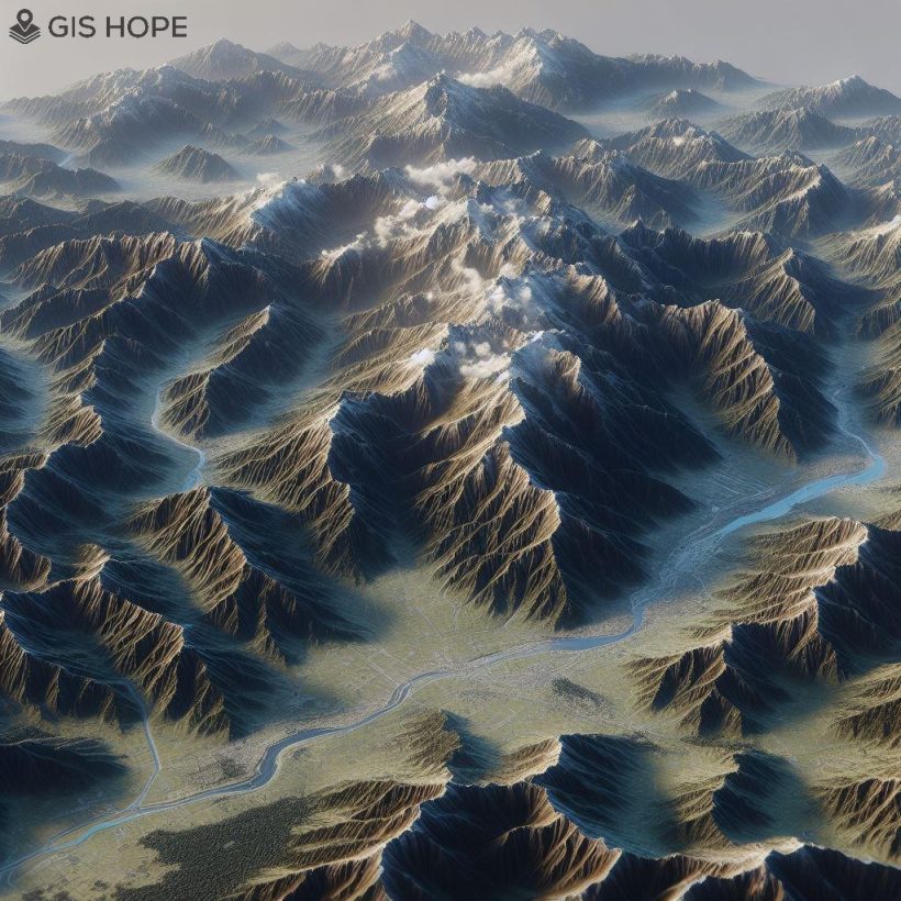
Terrain modeling lies at the heart of Geographic Information Systems (GIS), providing a digital representation of Earth’s surface. From towering mountains to sprawling valleys, terrain modeling encompasses diverse landscapes and plays a vital role in understanding geographic phenomena. This essay delves into the techniques for terrain modeling in GIS, exploring how these techniques enhance spatial analysis and decision-making across different terrains.
Understanding Terrain Modeling in GIS
Terrain modeling in GIS involves the creation of digital elevation models (DEMs) that represent the three-dimensional structure of Earth’s surface. These models capture elevation data, slope gradients, and other topographic features, providing valuable insights into terrain characteristics. Terrain modeling is essential for various applications, including land use planning, environmental assessment, and natural hazard mapping.
Terrain Modeling Techniques
Several techniques are used for terrain modeling in GIS, each serving different purposes and applications. These techniques include:
- Digital Elevation Models (DEMs): Representing terrain elevation using a grid of regularly spaced elevation points, DEMs provide a comprehensive overview of terrain characteristics.
- Contour Mapping: Illustrating terrain elevation using contour lines, contour mapping enables users to visualize elevation changes and terrain features such as ridges, valleys, and peaks.
- Slope Analysis: Calculating the steepness of terrain surfaces, slope analysis helps identify areas prone to erosion, landslides, and other geomorphic processes.
- Aspect Mapping: Mapping the direction in which terrain slopes face, aspect analysis provides insights into solar radiation, vegetation distribution, and habitat suitability.
Applications Across Landscapes
Terrain modeling techniques are applied across diverse landscapes, from mountainous regions to low-lying valleys. In mountainous terrain, terrain modeling aids in assessing slope stability, identifying avalanche risk zones, and planning recreational activities such as hiking and skiing. In valleys and plains, terrain modeling helps analyze drainage patterns, assess flood risk, and plan infrastructure projects such as roads and utilities. Regardless of the landscape, terrain modeling techniques provide valuable insights into terrain characteristics and inform decision-making in various applications.
Enhancing Spatial Analysis
Terrain modeling techniques enhance spatial analysis by providing a detailed understanding of landscape features and characteristics. By visualizing terrain in three dimensions, GIS users can assess the suitability of sites for development, evaluate environmental impacts, and plan conservation efforts. Terrain modeling facilitates scenario analysis, allowing users to simulate changes in terrain conditions and assess their implications. Overall, terrain modeling enhances spatial analysis capabilities and drives informed decision-making across diverse landscapes.
In conclusion, terrain modeling techniques in Geographic Information Systems (GIS) enable users to explore landscapes from mountains to valleys and beyond. By employing techniques such as DEMs, contour mapping, slope analysis, and aspect mapping, GIS users gain valuable insights into terrain characteristics and inform decision-making in various applications. As technology continues to advance, the potential for terrain modeling in GIS will only continue to grow, driving innovation and insight in spatial analysis and landscape management.
References
- Longley, P. A., Goodchild, M. F., Maguire, D. J., & Rhind, D. W. (2015). “Geographic Information Systems and Science.” John Wiley & Sons.
- Foresman, T. W. (2018). “The History of Geographic Information Systems: Perspectives from the Pioneers.” Routledge.
- DeMers, M. N. (2005). “Fundamentals of Geographic Information Systems.” John Wiley & Sons.
- Nyerges, T. L. (2016). “The SAGE Handbook of GIS and Society.” SAGE Publications.


