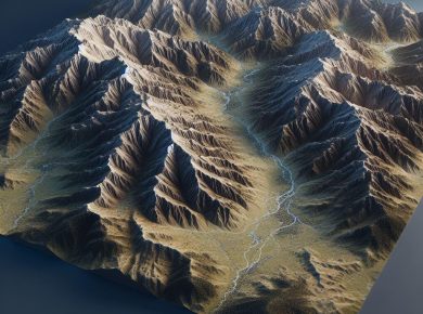
Adding Depth to Analysis: Techniques for Effective 3D Visualization in GIS Terrain Modeling
In Geographic Information Systems (GIS), terrain modeling plays a crucial role in understanding landscapes and analyzing geographic phenomena. Traditionally, terrain modeling has been represented through flat maps, but with the…

