Traditional maps have long served as essential tools for understanding and navigating our world. However, in today’s digital age, Geographic Information Systems (GIS) have transformed mapping technology, offering new dimensions of insight through 3D visualization. This essay explores the realm of 3D GIS visualization, delving into its applications, benefits, and the transformative impact it has on spatial understanding.
The Evolution of Mapping Technology
Mapping technology has evolved significantly over the years, transitioning from traditional paper maps to digital formats. With the advent of GIS, maps have become dynamic, interactive tools that provide users with a wealth of spatial information. The introduction of 3D GIS visualization takes mapping technology to new heights, offering a three-dimensional perspective that enhances spatial understanding and analysis.
Benefits of 3D GIS Visualization
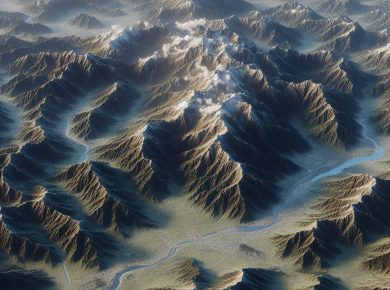
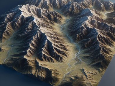
3D GIS visualization offers numerous benefits over traditional flat maps. By adding depth and perspective to spatial data, 3D visualization enables users to explore geographic features in greater detail. This enhanced visualization capability allows for better spatial understanding, improved decision-making, and enhanced communication of complex spatial relationships. Additionally, 3D GIS visualization facilitates immersive experiences, enabling users to virtually explore landscapes and environments from any angle.
Applications Across Industries
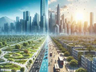
The applications of 3D GIS visualization span across various industries, including urban planning, architecture, environmental management, and disaster response. In urban planning, 3D visualization allows city planners to simulate proposed developments and assess their impact on the surrounding environment. In architecture, 3D visualization enables designers to create realistic models of buildings and structures, facilitating better design decisions and client communication. In environmental management, 3D visualization helps scientists and policymakers understand complex ecosystems and visualize the effects of environmental changes.
Innovation in Spatial Analysis
3D GIS visualization has also driven innovation in spatial analysis, allowing researchers and analysts to gain new insights into geographic phenomena. By integrating 3D spatial data with other data sources, such as satellite imagery and sensor data, analysts can conduct more sophisticated analyses and uncover hidden patterns and trends. This deeper understanding of spatial relationships enables better-informed decision-making and policy formulation across various domains.
In conclusion, 3D GIS visualization represents a significant advancement in mapping technology, offering new dimensions of insight and understanding. By providing a three-dimensional perspective of spatial data, 3D visualization enhances spatial analysis, decision-making, and communication across industries. As technology continues to evolve, the applications of 3D GIS visualization will only continue to expand, driving innovation and insight in our increasingly complex world.
References
- Kimerling, A. J., & Buckley, A. R. (2017). “Encyclopedia of Geographic Information Science.” SAGE Publications.
- Slocum, T. A., McMaster, R. B., Kessler, F. C., & Howard, H. H. (2009). “Thematic Cartography and Geographic Visualization.” Prentice Hall.
- Peterson, M. P. (2018). “GIS Cartography: A Guide to Effective Map Design.” CRC Press.
- DeMers, M. N. (2005). “Fundamentals of Geographic Information Systems.” John Wiley & Sons.


